You are riding the largest black sand dune field on Earth. Moses Lake Washington Dune Guide

Flood sand, black grains, and a lake that grew

You are riding the largest black sand dune field on Earth.

Most dunes are pale quartz. These are not. The sand here is more than half crushed basalt, delivered by the largest floods the continent has ever seen, and the dunes are still walking west across the basin while you ride them.

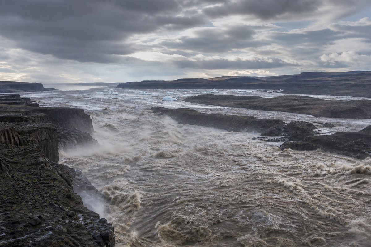
A Missoula flood surging across eastern Washington, stripping the land to bare rock and carrying the sediment that later became the Moses Lake dunes
Historical interpretation of a Missoula flood. Not a documentary photograph.

The floods that dumped the sand

At the end of the last Ice Age an ice dam in Montana failed, released a lake the size of an inland sea, and did it again and again. The Missoula floods tore the topsoil off eastern Washington and left the bare rock channels people now call the Channeled Scablands. What the water tore up it also carried, and a great deal of it settled out here in the Quincy Basin. The dunes you ride are that flood sediment, picked back up by wind and stacked into shapes.
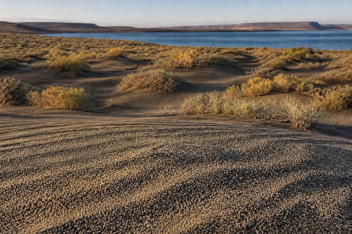
Close view of the dark basaltic sand of the Moses Lake dune field, showing grains of crushed volcanic rock rather than pale quartz
Interpretation of the basalt-rich dune sand. Not a documentary photograph.

Why the sand is dark

Run it through your fingers and it does not look like the pale quartz sand in most dune photographs. Roughly 55 percent of these grains are basaltic rock fragments rather than quartz, which is what gives the field its color. Researchers put the dune field at about 40 square kilometers, near 15 square miles, and describe it as the largest basaltic wind-blown sand accumulation on Earth. That is not a tourism line. It is a measured superlative, and it belongs to Moses Lake. It also has a practical consequence: dark sand absorbs heat, and on a July afternoon this surface gets hotter than pale sand under the same sun.

The dunes are still walking

This is not a preserved landscape. West of Potholes Reservoir the dunes have gone wet and vegetated and stopped moving. East of the reservoir, where the riding is, they are still active and advancing at roughly three meters a year. Ten feet, every year, in one direction. The transverse, parabolic, and barchan shapes on the satellite view are the record of that movement. A line you rode five years ago is not where you left it.

The man the lake is named for

Chief Moses lived from 1829 to 1899 and led the Sinkiuse-Columbia people, whose territory ran roughly from Waterville down to White Bluffs and took in the country around this lake. In 1883 the federal government bought out the Columbia Reservation. Fewer than a hundred of his people had moved onto it, and Moses himself went to the Colville Reservation, where he died. The lake, the city, and the school district carry his name. In 2021 the city and the Confederated Tribes of the Colville Reservation put up banners downtown honoring him, which is worth ten minutes on a weather day.

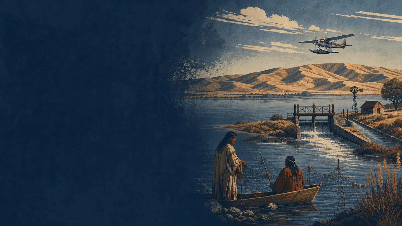
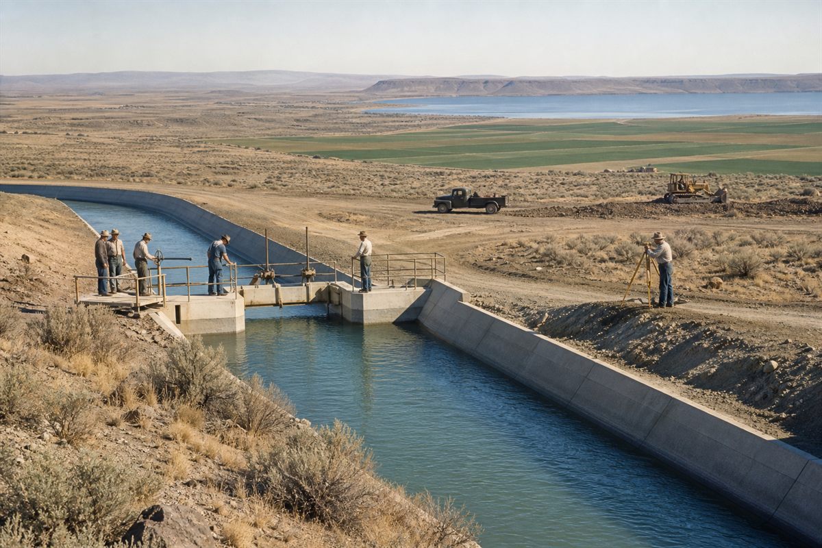
Columbia Basin Project irrigation works bringing water onto the dry Washington plateau around 1950
Historical interpretation of the Columbia Basin Project, circa 1950. Not a documentary photograph.

A shallow lake that got much bigger

Moses Lake was originally a shallow natural lake in a dry basin. In the early twentieth century it was dammed for irrigation, and it later became part of the Columbia Basin Project run by the Bureau of Reclamation. Grand Coulee Dam came online in the early 1940s and made it possible to pump Columbia River water up onto a desert. O'Sullivan Dam, finished in the late 1940s, backed up Potholes Reservoir south of here. Nearly every body of water in your trip photos is either enlarged or entirely created by that project.

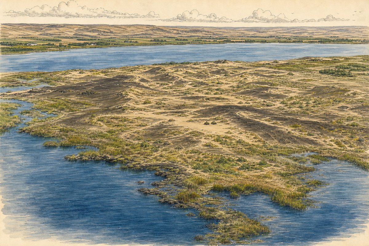
An elevated view shows the Moses Lake dune field between two bodies of water with wetlands along the margins
Illustration of the Moses Lake dune field between Moses Lake and Potholes Reservoir.

Water on both sides of the sand

The ORV area sits on the neck of ground between Moses Lake to the north and the top of Potholes Reservoir to the south, about four miles from the city. That geography is the reason this place does not ride like a desert. You can finish a hot loop and be in water quickly, and the surrounding wetlands hold serious warmwater and trout fishing under current WDFW rules. It is also the reason the boundaries are complicated. Sand, wetland, wildlife area, and reservoir all meet in a small space.

Why the calendar has zones

The park runs about 3,000 acres of open dunes, plus roughly another 3,000 acres of mud flats that open only from July 1 through October 1. The Yellow Zone runs the other way and closes October 1 through June 30. Those dates are not paperwork. They are the terms on which shrubsteppe habitat and a heavily used riding area share the same ground, and they are the reason the rest of it stays open year round. Check the current Grant County notice before you tow in, because the map in your memory is not the map that counts.

Verify before travel. Conditions, zones, and regulations can change. Use the responsible agency's current information for final decisions.

Open Grant County's official source →
Part of theDUNE GUIDE USA NETWORKIndependent dune guides. One place to start.