
Know the zone before the throttle. Moses Lake Washington Dune Guide

One destination, several boundaries

Know the zone before the throttle.

The route in is easy. The boundaries are not, because two seasonal zones run on opposite calendars and one holiday rule is drawn against a building rather than a map line.

The working trip map

Click a place. Get that place.

Every marker identifies the exact planning point and updates the matching detail card. Approximate orientation pins are labeled; official boundaries still control.

Dune Guide Adventures

Turn the Moses Lake map into a practice ride.

Choose a published staging start, explore the virtual dunes and shoreline, and practice finding your way back with Camp Compass.

Moses Lake Adventure available now.

Explore Moses Lake in the free Arcade →

The virtual world is for familiarization and fun. Grant County information, seasonal closures, and posted signs control real access.

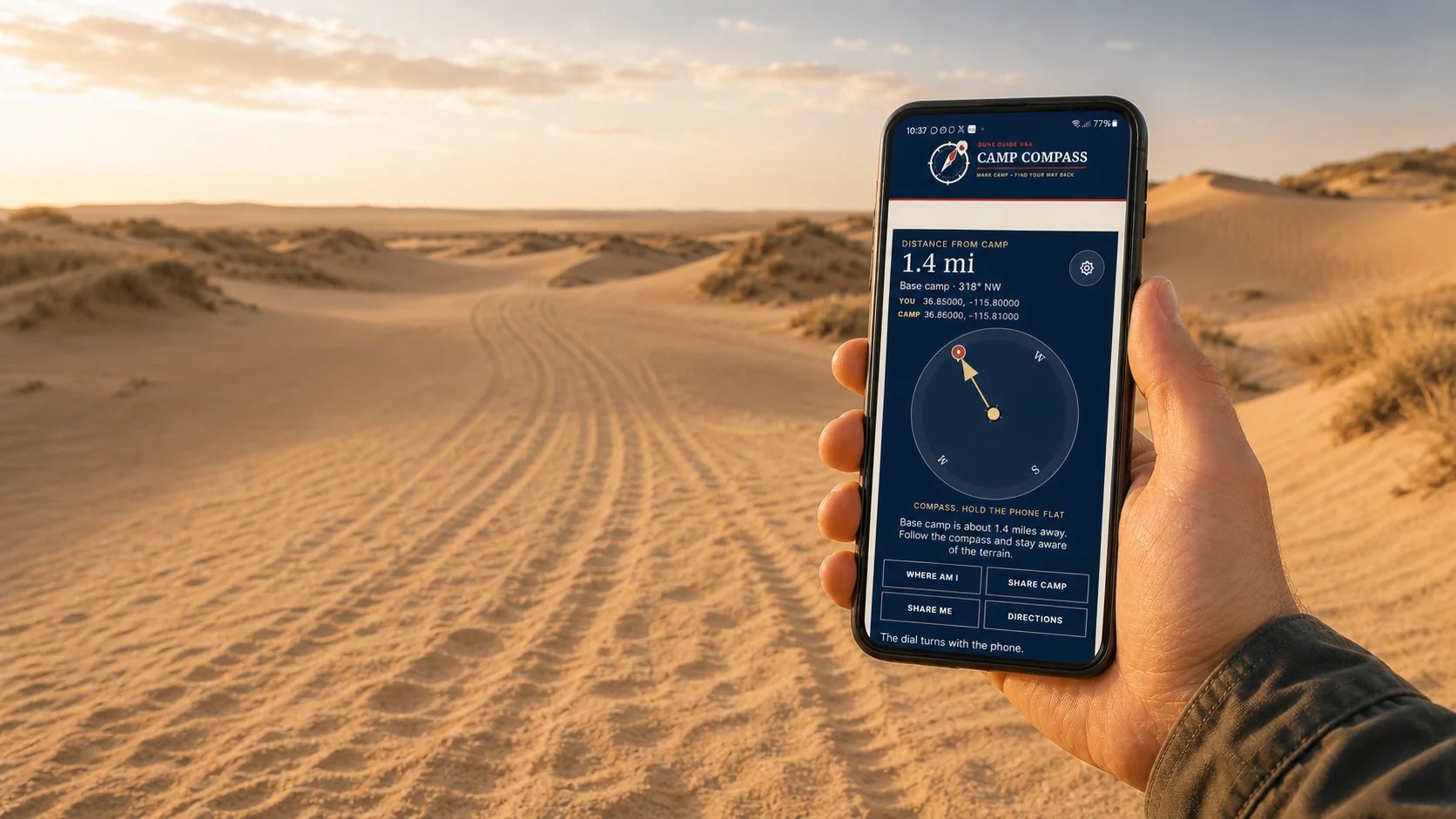
A rider holding Camp Compass open on a phone while tire tracks disappear across distant sand dunes

Free safety tool Works beyond the bars

Mark camp.
Find your way back.

Save camp before you ride. Camp Compass uses GPS satellites to show the distance and direction back, even where cell service disappears. Your marked camp stays on this phone unless you choose to share it.

  • Works offlineGPS does not need a cell tower
  • One compassUse it at every Dune Guide destination
  • Share your locationSend coordinates when help can reach you

Set it up before the trip. Installation needs a signal.

Getting there

The ORV area sits about four miles south of the Moses Lake city limits, on Potatoe Hill Road. Take Division Street south, or come off I-90 at exit 174 and follow the signs south. It is close enough to town that you can forget something and recover, which is unusual for a dune destination and worth taking advantage of.

Trailer in, do not ride in

Grant County states that ATVs, UTVs, and motorcycles are not allowed on county roadways unless specifically authorized by law. An open ORV area does not make the roads around it legal to ride. Haul the machines the last four miles rather than assuming the rule bends near the entrance.

Two zones, opposite calendars

The Yellow Zone is closed October 1 through June 30. The Mud Flats are open July 1 through October 1. Those windows barely overlap, so the ground available to you depends entirely on the date you arrive. Map both before planning any mileage, because a pin cannot tell you whether a zone is open today.

The holiday rule is drawn against a building

On Memorial Day, Fourth of July, and Labor Day weekends, camping is prohibited west of the third restroom building to the intersection of Sand Dunes Road and Powerline Road. That corridor stays clear for emergency access. It is an unusual way to describe a boundary and it is the one that catches returning visitors, because the rest of the year camping is allowed almost anywhere.

Where the water is, and is not

The riding area sits on ground between Moses Lake to the north and the top of Potholes Reservoir to the south. No official source establishes a designated public swimming area or permission to ride a machine down to the water, and reports of a motorized setback from the shoreline circulate without an official map behind them. Treat the shoreline as a boundary to stay back from rather than a destination.

Mark camp before anyone rides

Save camp coordinates and share them with every driver and rider before the first machine moves, along with regroup points and an exit route. Cell service may work near town and the main access corridor, but do not build an emergency plan that depends on a signal.

Two maps, and know which is which

The interactive map here is for planning: arrival, camping context, services, and the seasonal zones as approximate markers. Grant County's current information is what controls access, closures, and boundaries. Where they differ, the county is right. Save both offline before you leave town.

Verify before travel. Conditions, zones, and regulations can change. Use the responsible agency's current information for final decisions.

Open Grant County's official source →
Part of theDUNE GUIDE USA NETWORKIndependent dune guides. One place to start.