Read more than the next crest. Moses Lake Washington Dune Guide

Dunes, bowls, shoreline, and seasonal flats

Read more than the next crest.

Two riding areas on two different calendars, on sand that is more than half crushed basalt. It does not look or behave like the pale quartz dunes most riders picture.

The dunes, year round

The main dune area runs roughly 3,000 acres and is open all year, with a mix of faces, bowls, and jump terrain that suits a wide spread of skill levels. It is one of the largest ORV areas in the region. Start with an orientation loop rather than picking the line that looked exciting from camp.
The Mud Flats, July to October

Another 3,000 acres or so of sand, mud, and trails open from July 1 through October 1 only. It is a genuinely different surface from the dunes and worth planning a day around if your trip falls in that window. Confirm the current boundary before you ride it, because a seasonal area is only as reliable as this year's notice.

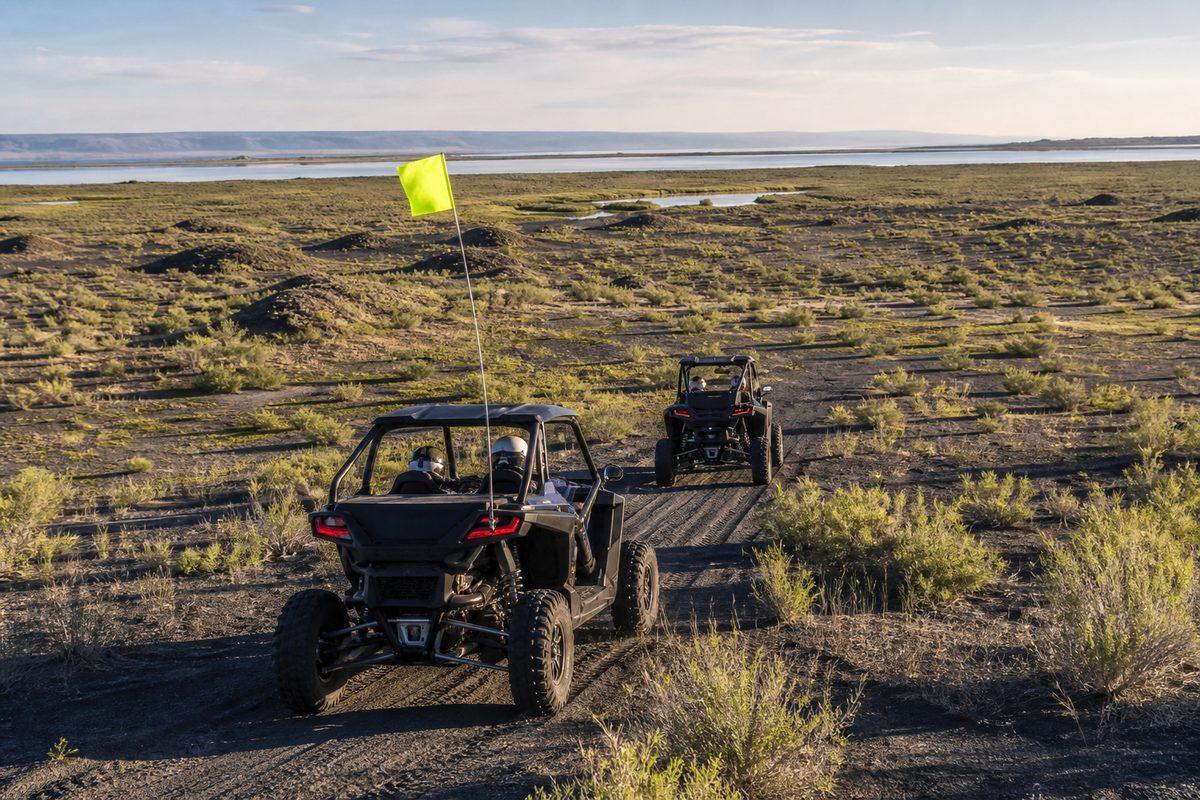
The dark basaltic sand of the Moses Lake dune field, visibly grey-black rather than pale quartz
Illustration of the basalt-rich dune surface. Not a documentary photograph.

Dark sand behaves differently

Roughly 55 percent of these grains are basaltic rock rather than quartz. The practical consequence is heat: dark sand absorbs considerably more of it, so a July surface here is hotter than a pale dune under the same sun. It matters for tires, for machines, and for anyone who sets a bare hand down.

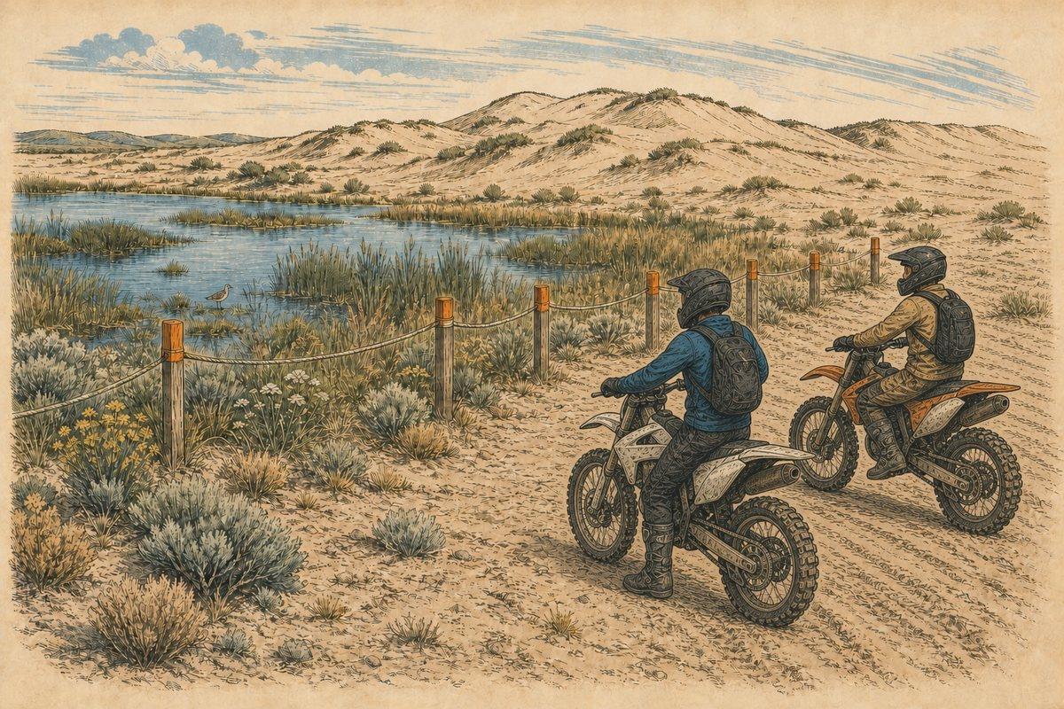
Two helmeted motorcycle riders stop outside a marked wetland and habitat boundary at the Moses Lake dunes
Illustration of flag-exempt motorcycles remaining outside the signed Yellow Zone closure.

The Yellow Zone is not a suggestion

Closed October 1 through June 30, which is most of the year. It is habitat, it is signed, and it is enforced. A visible track running through it is evidence of somebody else's bad decision and nothing more.

Keep machines back from the water

Soft shoreline and wet ground change week to week and look identical to firm sand right up until they are not. There is also no official source confirming that riding to the waterline is permitted, and secondary guides report a motorized setback from the shore. Stay well back, keep out of wetland edges, and do not launch anything from the dunes. A buried machine at the waterline is a bad afternoon, and an access rule broken on camera is worse for everybody.

Every crest is blind

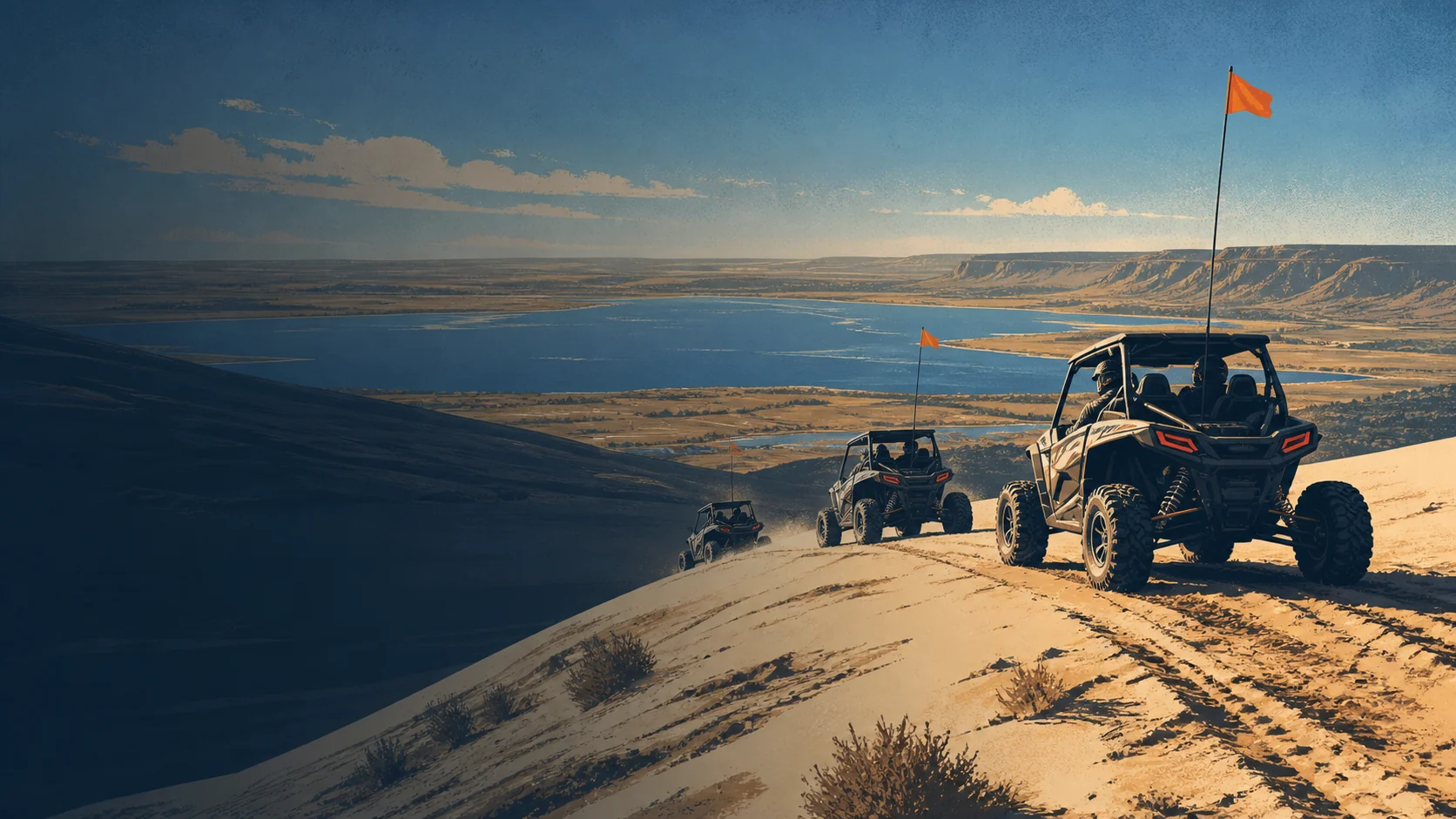
Standard dune discipline applies and matters more here on busy summer weekends. Approach slowly enough to stop before the skyline, never gather the group directly below a crest, and fly the flag at the full nine feet the county asks for, because that is the height that clears the ridge before your roof does.

Pick your weekend

Four miles from a city of twenty-odd thousand, on free open land, in a state with a short riding season. Summer holiday weekends here are busy. If you want the place to yourself, the shoulder seasons and midweek are a completely different experience, though the Mud Flats will be shut.

Verify before travel. Conditions, zones, and regulations can change. Use the responsible agency's current information for final decisions.

Open Grant County's official source →
Part of theDUNE GUIDE USA NETWORKIndependent dune guides. One place to start.