Build the day around the whole group. Moses Lake Washington Dune Guide

Sand beside deep water demands two plans

Build the day around the whole group.

Most dune destinations ask you to manage one set of risks. This one adds open water, which changes what can go wrong and how fast.

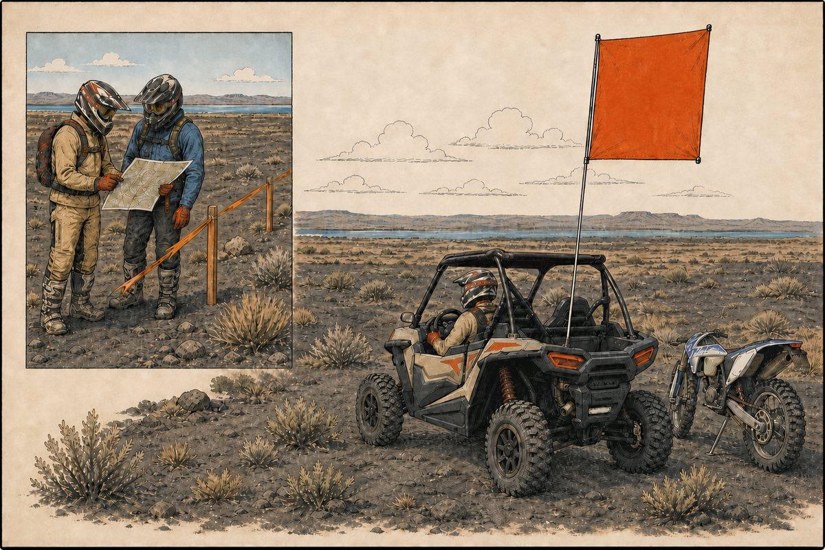
Moses Lake safety field guide showing a UTV with the required oversized square orange flag, a dirt bike rider, and a group checking a map before entering a seasonal zone
Field-manual illustration of Moses Lake visibility and pre-ride planning. Legal measurements remain in the text below.

Two hazards, not one

Every dune has blind crests and machines. This one also has a lake, and the two overlap in the worst way on a hot afternoon when people are tired, hot, and looking for relief. Decide before the trip who is responsible for watching children near water, and do not let that job move around informally.
Fly the flag at full height

The ordinance calls for a bright red or orange flag at least 48 inches square, at least 108 inches above the ground when stopped, and visible from every direction while moving. Both numbers matter. The height clears the crest before the machine does, which is what prevents the head-on collision blind crests cause, and the size is what makes it readable across a dune at speed. Motorcycles are exempt from the flag rule and should ride as though everyone else cannot see them.

Helmets, cages, and belts

A helmet is required unless the machine has both a roll cage and seatbelts. Even in a caged machine, a great many head injuries come from occupants striking the cage rather than being thrown clear, so belts worn properly and arms kept inside matter more than people assume.

Heat with no shade

There is no shade anywhere in the riding area and the dark sand runs hot. Carry far more water than the forecast suggests, build genuine rest into the day rather than riding until somebody wilts, and know what heat exhaustion looks like in a teenager who will not admit to it.

Storms look further away than they are

Open Columbia Basin horizons flatten distance. Thunder, lightning, or a visible dust wall means stop, get people into hard-sided vehicles, and wait. Wind can also turn the lake rough quickly, which matters if anyone is on the water.

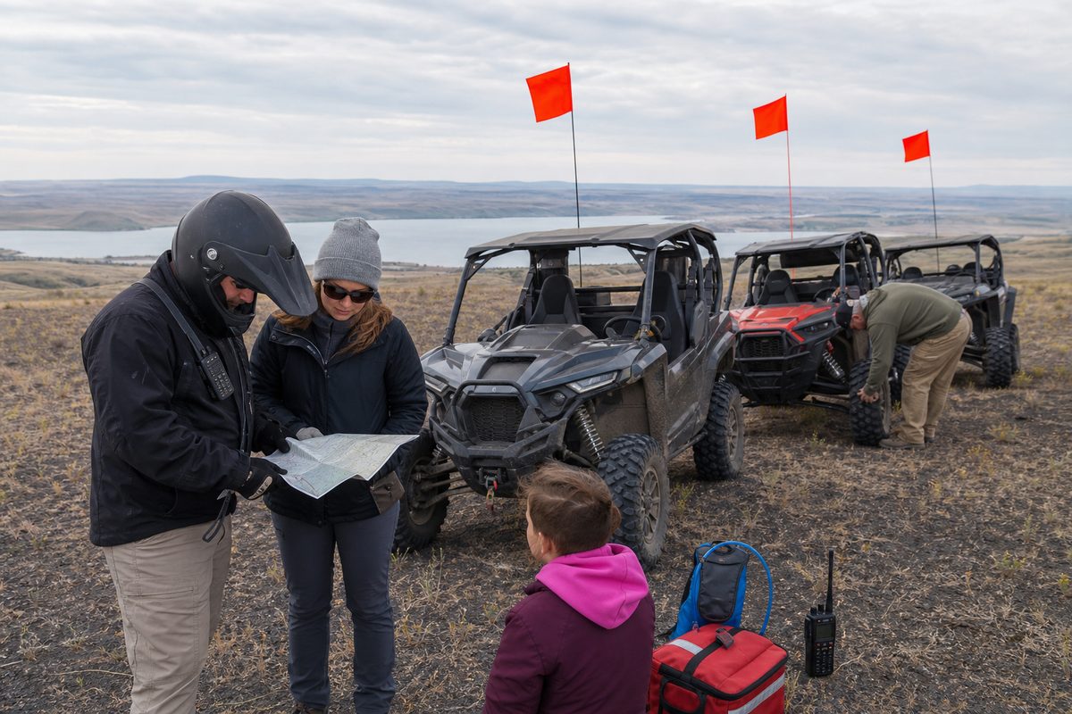
A riding group gathered before setting out, agreeing routes, radio channels, and regroup points
Illustration of a pre-ride group briefing. Not a documentary photograph.

Lead, sweep, regroup

Assign a lead and a sweep rider, agree a radio channel, and stop at every confusing junction until the rider behind has seen the route. Set regroup points in advance. Riders under 16 must be with a licensed adult, and that pairing should be decided before engines start rather than negotiated on the sand.

Help is close, but do not bet on a phone

Being four miles from Moses Lake is a genuine safety asset, with a hospital, fuel, and parts about twenty minutes away. Do not assume you can call for it. Cell service may work near town and the main access corridor, but nothing about your emergency plan should depend on a signal. Emergencies are 911. Grant County MACC non-emergency dispatch is 509-762-1160, toll free 888-431-9911, and there is a text line at 509-761-3259. Save all three offline, share your camp location and exit route with the whole group, and tell somebody not on the trip when you expect to be back.

Set up satellite SOS before you need it

Being close to town is not the same as having a signal in a low spot between dunes. An iPhone 14 or later can text emergency services over satellite with no cell service at all, and Apple has repeatedly extended the free period, most recently into late 2026. Check what your own device has rather than assuming. Practise with the demo mode outdoors under open sky before the trip, because an emergency is a terrible time to learn a menu. In a real emergency try 911 first and use satellite only if the call will not connect. Two things are worth knowing before you rely on it. Emergency SOS via satellite and Messages via satellite are different features, and only the first one reaches rescuers. And separately from Apple, T-Mobile now offers text to 911 over Starlink satellites free to anyone with a compatible phone, including Verizon and AT&T customers, aimed squarely at the parts of the country with no tower coverage. Some newer Android phones have their own satellite emergency feature, so check your model rather than assuming it behaves the same way. All of it needs a clear view of the sky, and all of it can be delayed.

Apple: Use Emergency SOS via satellite →

Verify before travel. Conditions, zones, and regulations can change. Use the responsible agency's current information for final decisions.

Open Grant County's official source →
Part of theDUNE GUIDE USA NETWORKIndependent dune guides. One place to start.