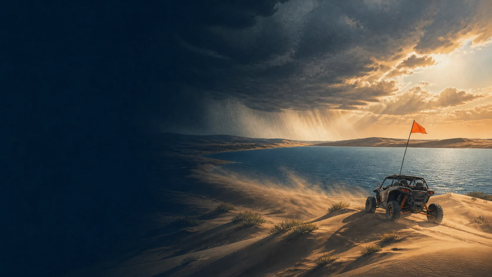
The lake makes the weather visible. Moses Lake Washington Dune Guide

Water, wind, heat, and open sky

The lake makes the weather visible.

You can see weather coming from a long way off here, which is useful right up until it fools you about distance. Wind is the variable that decides most days.

Current conditions

Live readings load here when the forecast service responds. Everything below this panel applies either way.

Temperature
Check current
Feels like
Check current
Wind
Check current
Gusts
Check current
Sky
Check current

Riding read: verify on site. Wind and surface change faster than any forecast updates, and what you can see from camp is the current conditions.

Seven-day outlook

The seven-day outlook loads here. Open the National Weather Service forecast for the official version, which is the one to use for any decision that matters.

Live data from Open-Meteo, refreshed when the page loads. The National Weather Service is the official source. Open the NWS point forecast.

Spring and fall are the sweet spots

Comfortable temperatures, manageable wind, and no need to plan the day around heat. The tradeoff is the calendar: the Mud Flats are shut outside July through September, and the Yellow Zone is closed until July. You get better weather and less ground.
Summer is hot, and the sand is hotter

Central Washington summers are genuinely hot, there is no shade anywhere in the riding area, and dark basaltic sand absorbs more heat than pale quartz. That combination is harder on people and machines than the air temperature suggests. Ride the cooler ends of the day and treat midday as a lake break rather than a challenge.

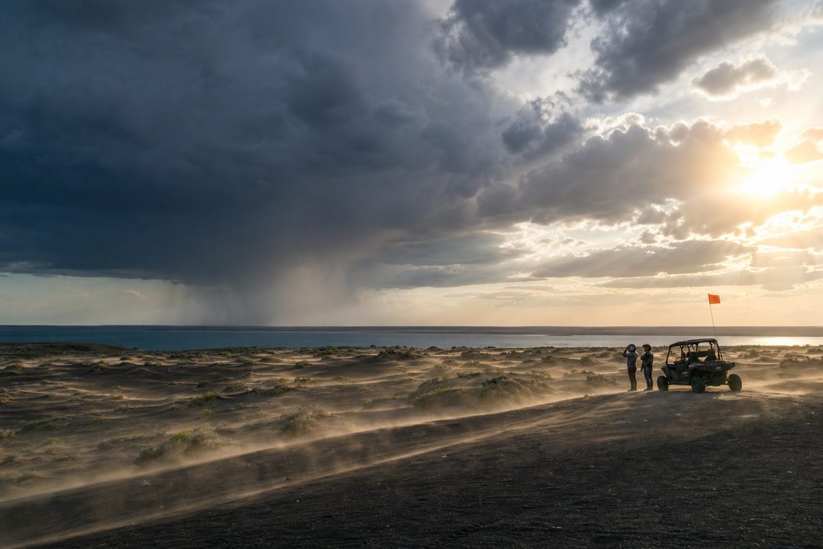
Columbia Basin wind moving sand across the dunes and roughening the water beyond them
Illustration of basin wind across sand and water. Not a documentary photograph.

Wind writes the surface and the water

Wind reshapes the dunes, cuts visibility with blowing sand, and roughens the lake at the same time, so it can close both halves of the trip at once. Compare the forecast against what the flags in camp and the water are actually doing, and secure everything before you ride rather than after.

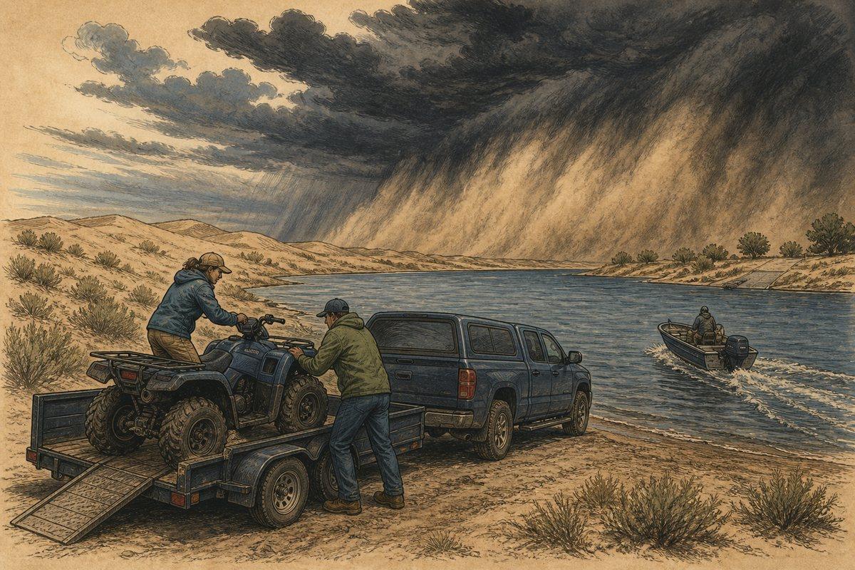
Riders load an ATV while a boat returns as a dark Columbia Basin storm and dust wall approach
Illustration of ending the ride early as a basin storm approaches sand and water.

Storms are closer than they look

Open basin horizons flatten distance badly. If you can hear thunder, see lightning, or watch a dust wall approaching, that is the signal to stop and get people into hard-sided vehicles. Anyone on the water needs more warning than anyone on the sand.

Smoke is a real season now

Late summer wildfire smoke can settle into the Columbia Basin and drop air quality for days at a time without any fire being near you. Check current conditions before towing, especially with children or anyone with asthma in the group, because there is nowhere on site to get away from it.

Winter is quiet and unpredictable

The dunes are open year round and winter can be genuinely pleasant, but Columbia Basin fog, ice on the approach, and short daylight all change the trip. The Yellow Zone is closed anyway, so plan around less available ground.

Check fire restrictions with the forecast

Washington burn restrictions tighten as things dry out and are not the same all season. Small fires are normally permitted at the dunes, but confirm the current restriction before you load firewood, and remember pallets are prohibited regardless.

Verify before travel. Conditions, zones, and regulations can change. Use the responsible agency's current information for final decisions.

Open Grant County's official source →
Part of theDUNE GUIDE USA NETWORKIndependent dune guides. One place to start.